Camping Permits
To camp at Lakefield, Iron Range or Jardine River national parks you need to obtain access permits from the ranger stations.
To camp at Lakefield, Iron Range or Jardine River national parks you need to obtain access permits from the ranger stations.
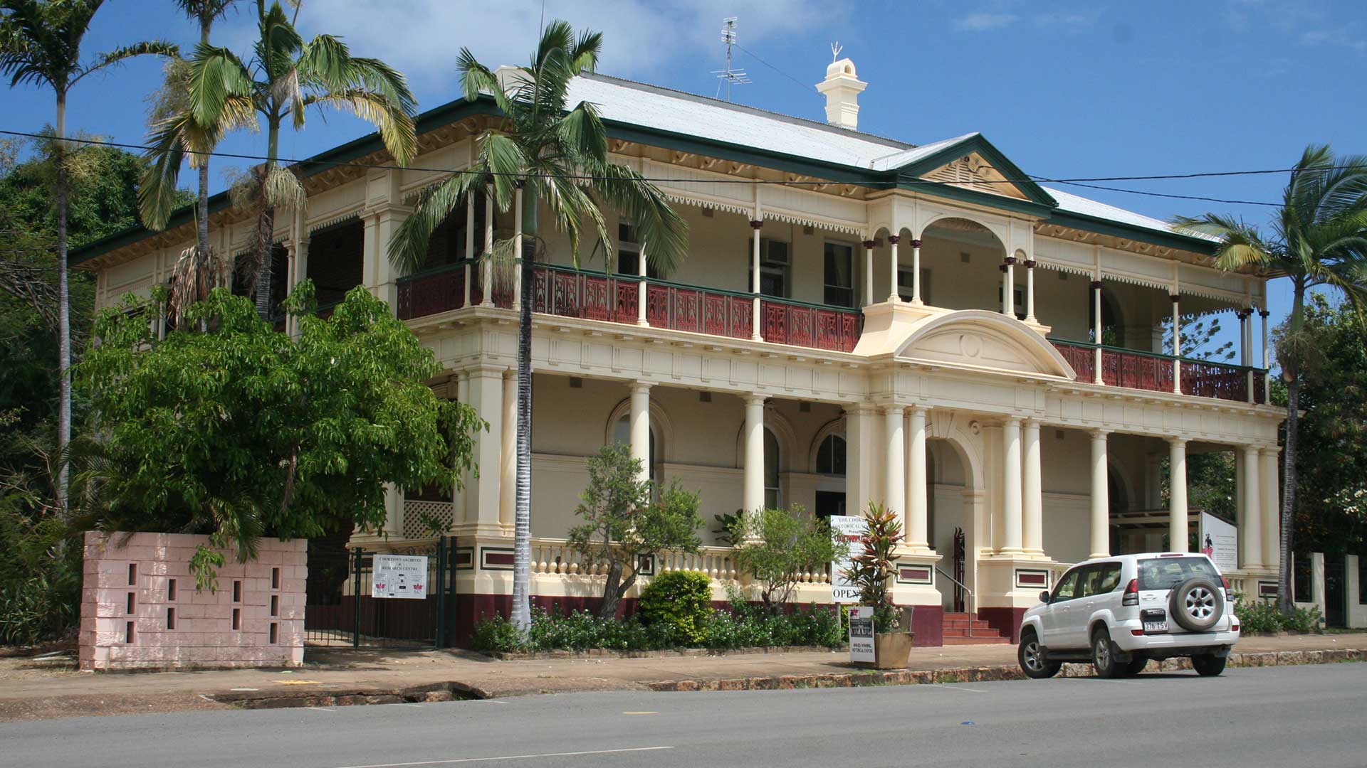
Cooktown at the base of the peninsula has an average daily maximum temperature that ranges from 25°C in June to 32°C in February.
The prominent, wedge-shaped Cape York Peninsula, thrusts up towards New Guinea. It was the last region of Australia to be developed.
For 60,000 years aboriginal tribal groups have roamed the broad savannah and pristine coastal regions of Cape York Peninsula.
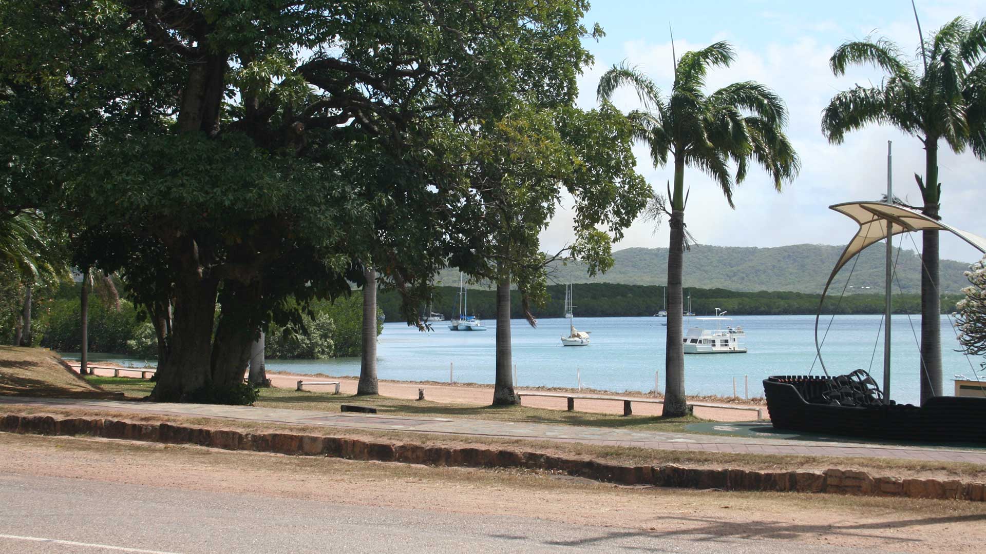
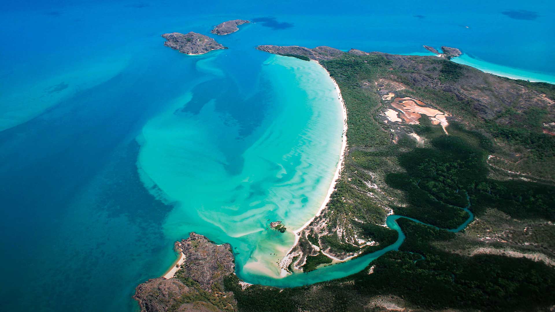
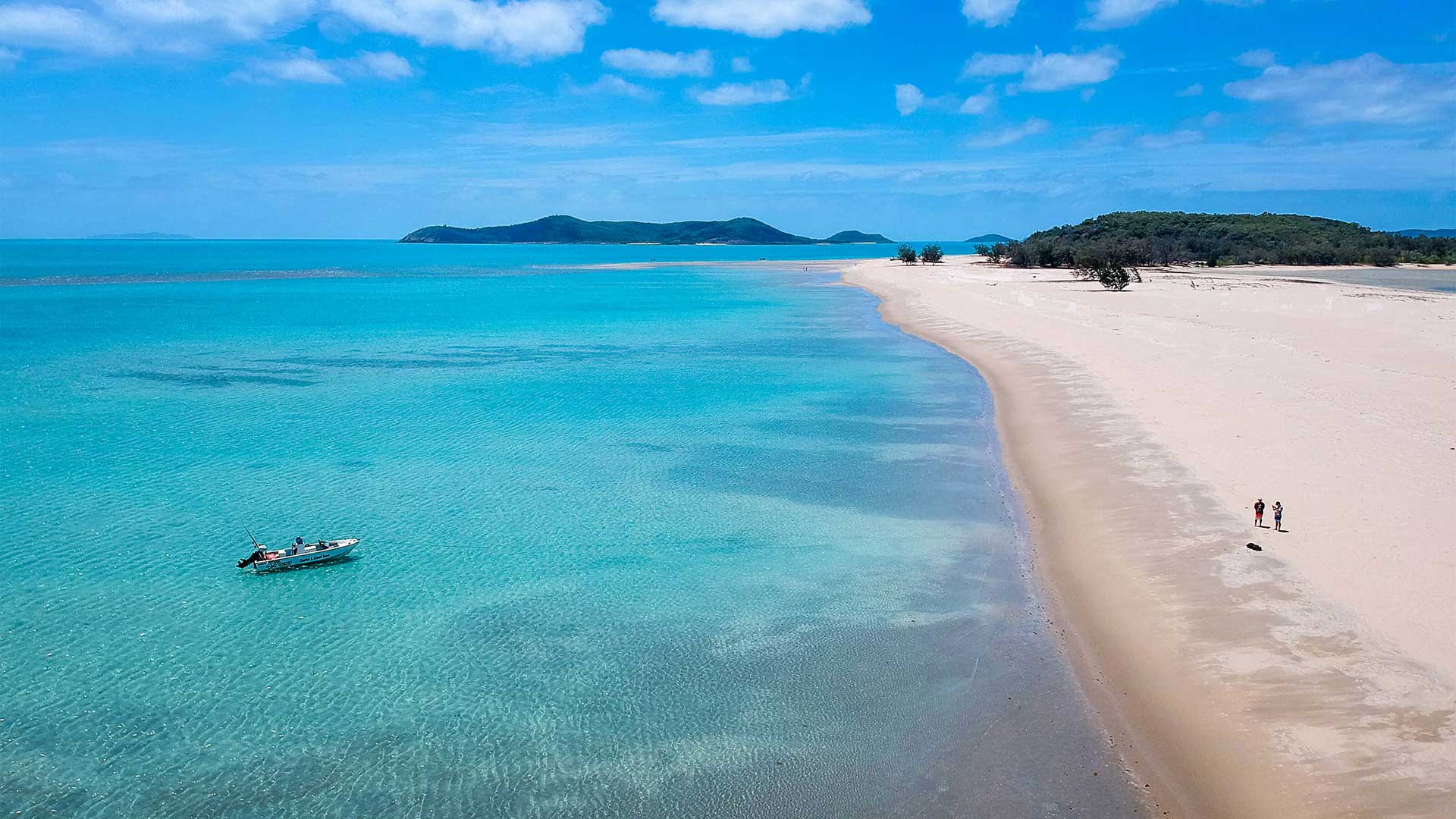
The great tapering Cape York Peninsula thrusts into Torres Strait, enclosing the vast brown mudflats of the Gulf of Carpentaria.
Access to the Iron Range Park is via a branch road north of Archer River, running east for 155km to the Lockhart River & Portland Roads.
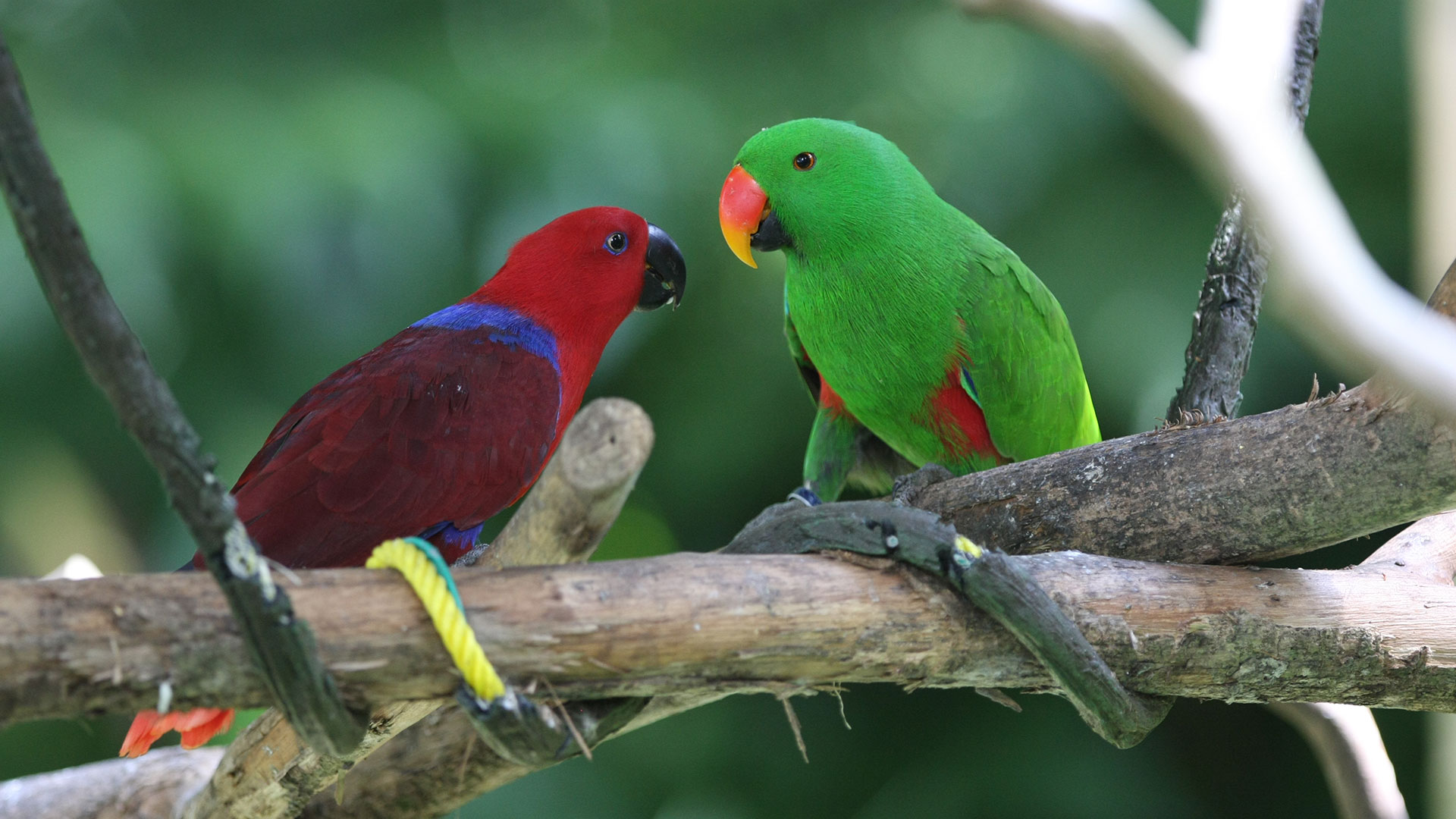
Close to the remote northern tip of Cape York Peninsula lies a boundless wilderness of tall rainforest straight out of Jurassic Park.
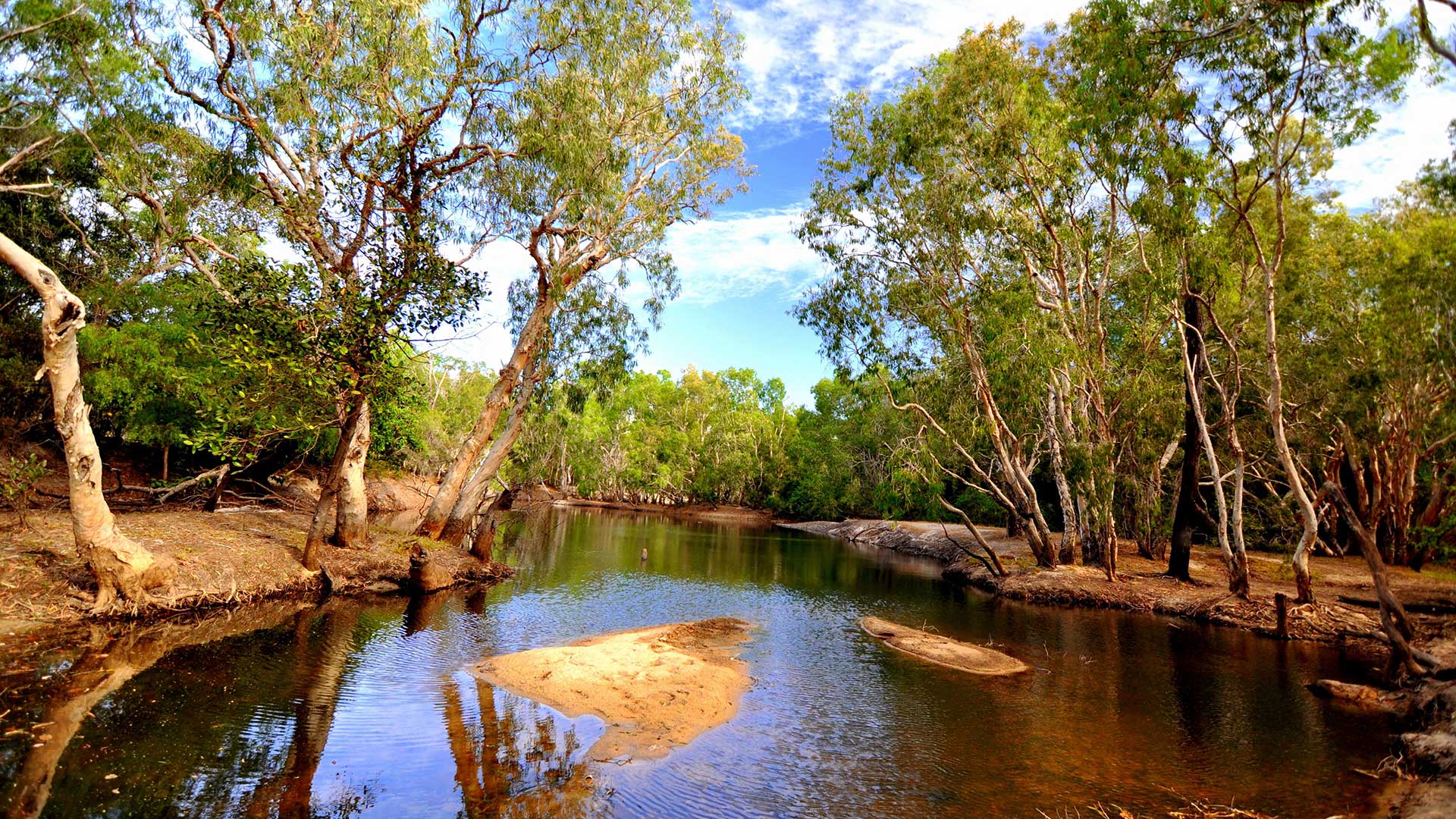
The Cape’s most accessible wilderness reserve has enough variety and interest in its 50,000 sq.km of savannah and fertile riverine flats.
The relative isolation of the Cape York Peninsula does not mean that they lack facilities and interesting attractions for adventurous travel.
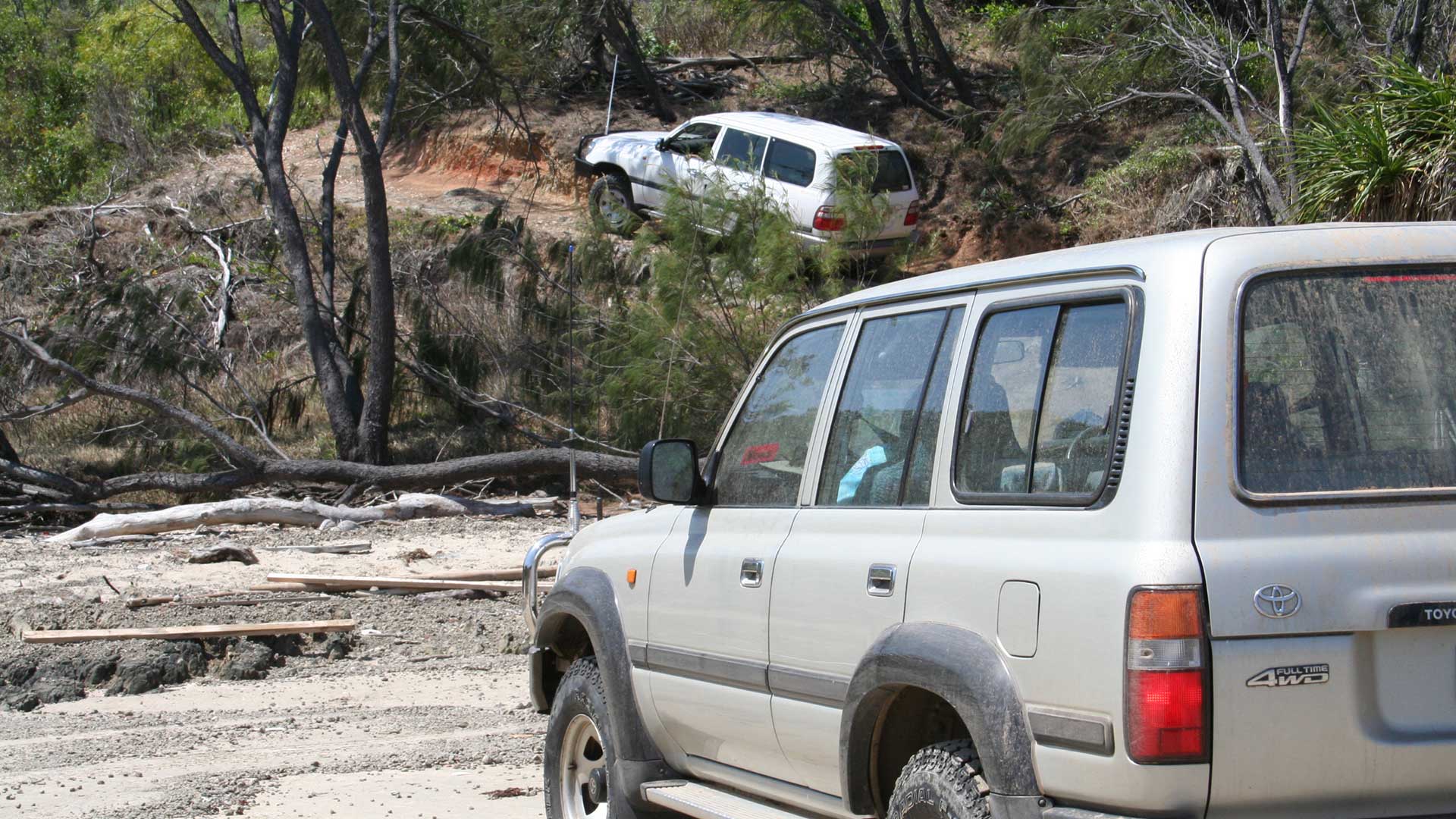
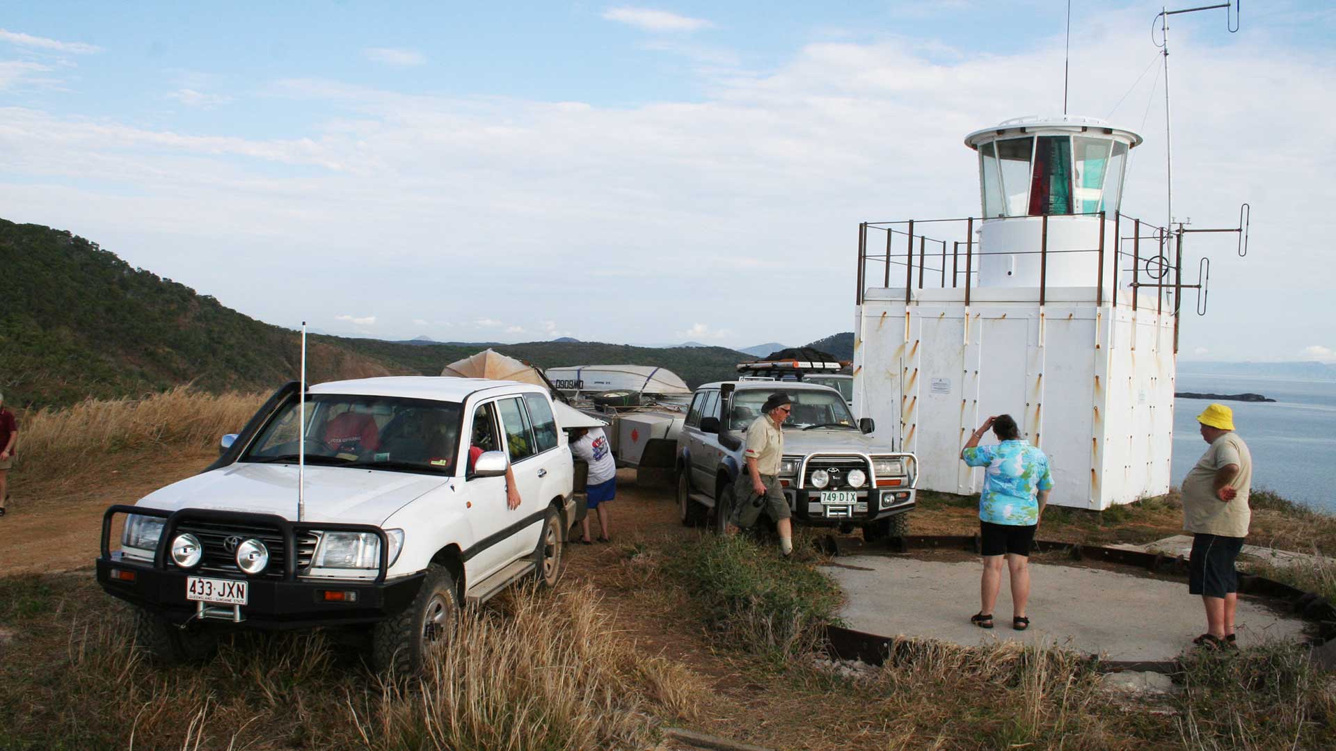
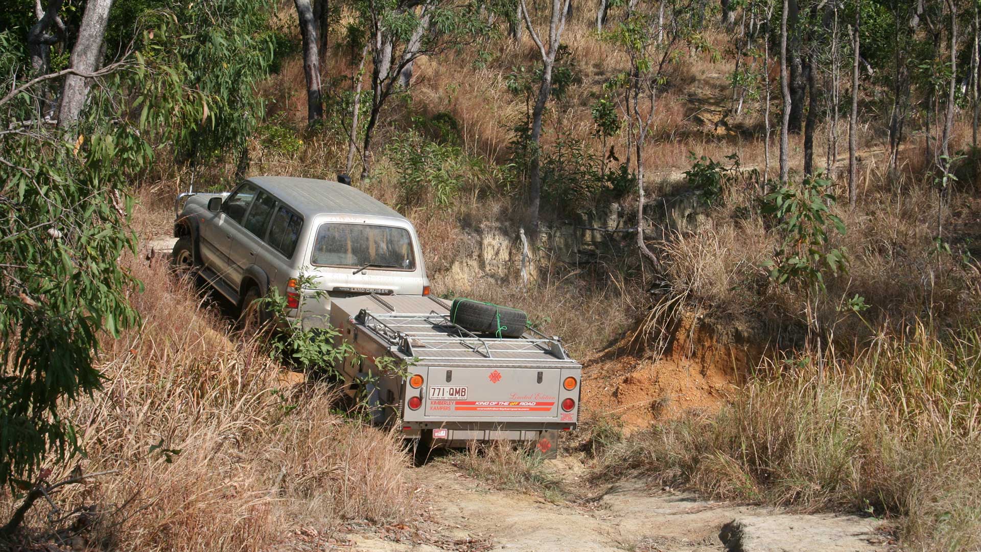
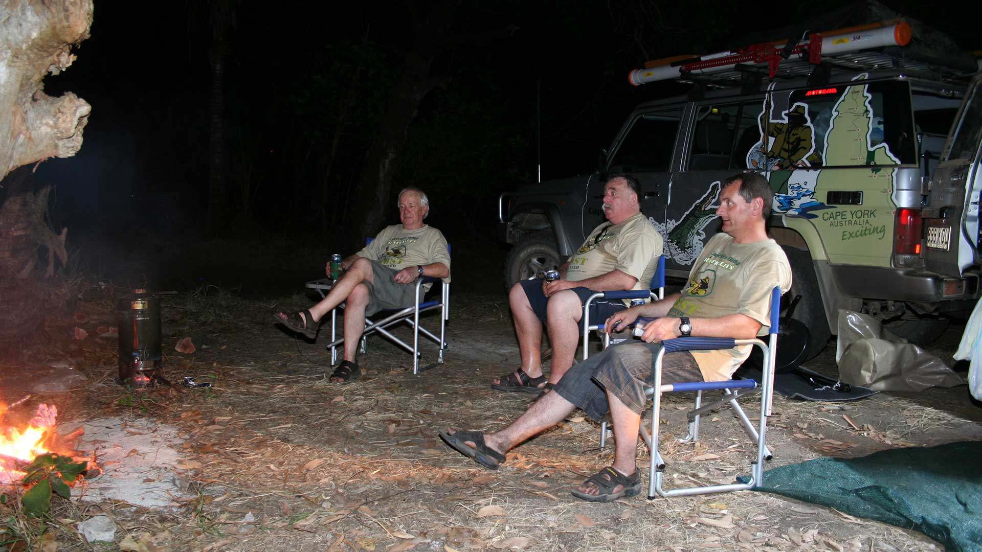
Hundreds of 4WD enthusiasts set off from Cairns and Cooktown for the long trek to Cape York. It is one of Australia’s classic adventure.
A short ferry ride from Seisia, near the northern tip of Cape York Peninsula, takes you to a totally unique & fascinating multicultural world.
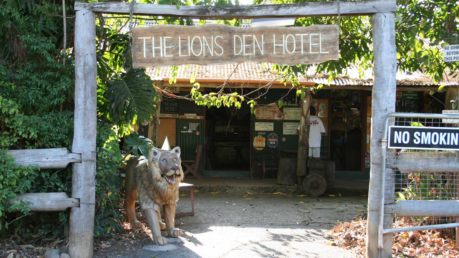
The ‘Trip to the Tip’ starts from Cairns with two options. Take the winding coastal road through Port Douglas and Cape Tribulation to Cooktown