


The rugged, exposed Taranaki coastline extends for 250 kms around the semi-circular bulge in the west coast of the North Island.
From Mokau in the north to Waitotara in the south, a succession of black iron sand beaches invites exploration by divers. Along the coast one is constantly aware of the dominating presence of Mt Taranaki (also called Mt Egmont), a symmetrical, giant snow cone towering above the coastal land.
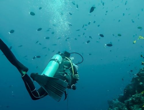
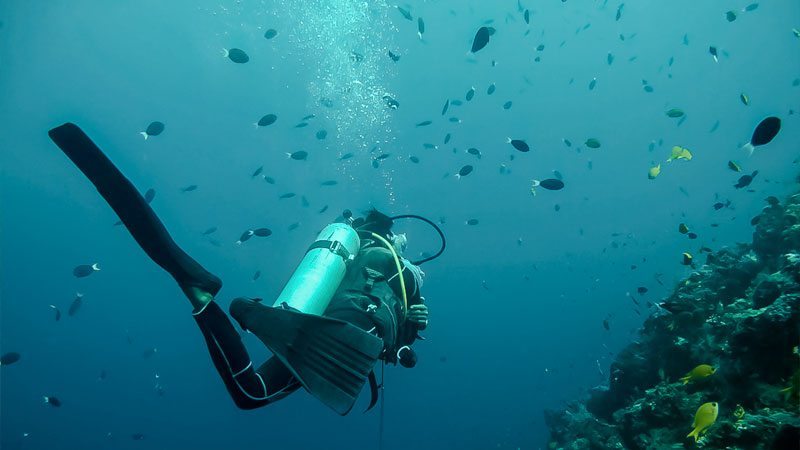
Surf Highway 45 around the mountain is known internationally as one of the premier surfing and windsurfing areas in New Zealand. The diving is great too with water temperatures ranging from 12°C to 20°C and a profusion of volcanic reefs, boulders and lava flows. Many of the southern fish species are present and the area hosts New Zealand’s northernmost seal colonies.
Dive shops in New Plymouth and Wanganui offer dive charter services to all the best spots.
Sugar Loaf Islands
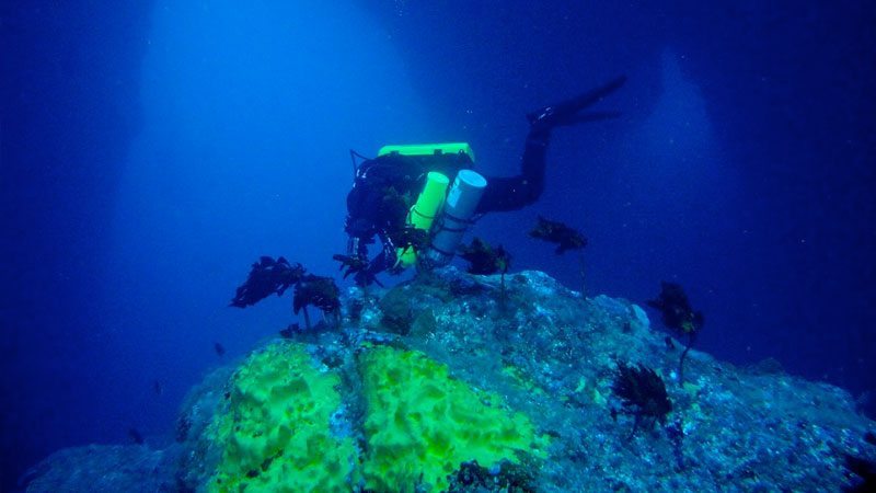
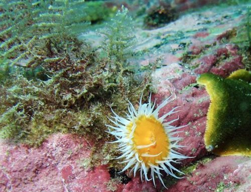
This marine park is 1.5 km offshore from Port Taranaki and offers interesting topography to depths of 27m. Reef fish such as butterfish, blue maomao, blue cod and red moki are plentiful and kingfish and kahawai are frequently seen chasing schools of baitfish. To the west of both Moturoa and Waikaranga Islands are striking volcanic pinnacles just below the surface, which plunge to 20-30m. Seals, dolphins and sharks can be seen here at times.
Oakura Beach
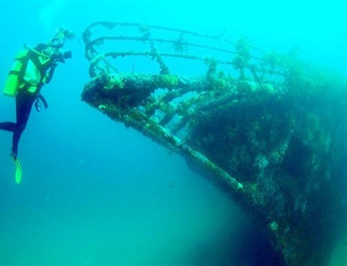
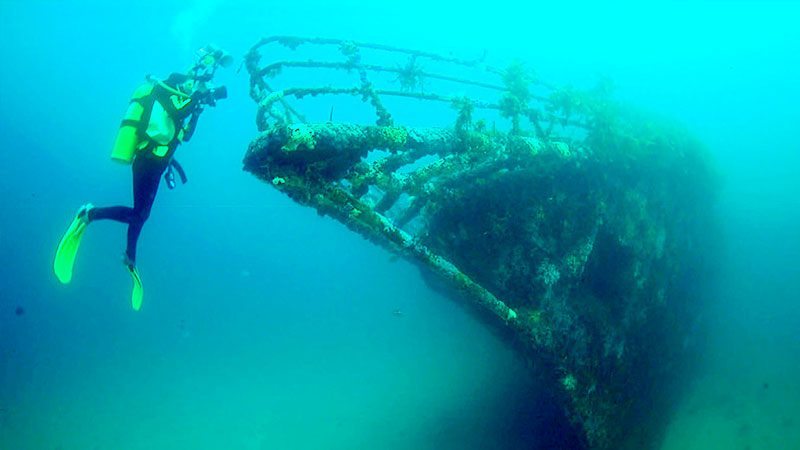
Volcanic reefs lie offshore with depths to 9m and a variety of reef fish and crayfish (lobster). The wreck of the steel-hulled steamer Gairloch is scattered over the seabed west of the Oakura River.
Opunake Beach
Numerous volcanic reefs, large boulders and lava flows extend to depths of 14m, inhabited by common reef fish, crayfish and paua (abalone). Wreck diving in shallow water provides a view of the scattered iron plates of the steamer Lord Worsley. The remains of the iron barque Northern Monarch can be seen north of the Oaonui Stream.
Leave A Comment