


A popular playground and recreational forest park for outdoor enthusiasts can be found just 30 km from Wellington.
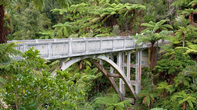
The Rimutaka Forest Park is the southernmost range of the North Island’s continuous chain of mountains from Wellington to East Cape. The range is relatively low but deceptively rugged. It extends from Palliser Bay on the south coast along the east side of the Hutt Valley and ends at the Rimutaka Saddle on S.H.2.
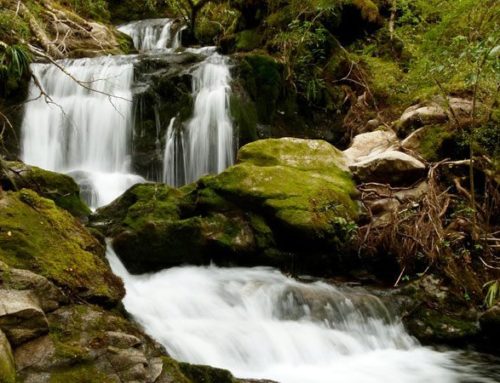
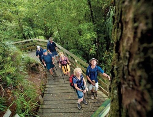
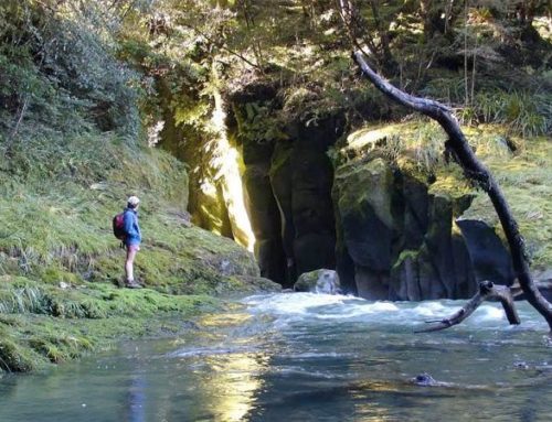
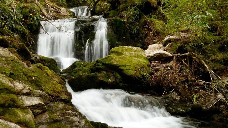
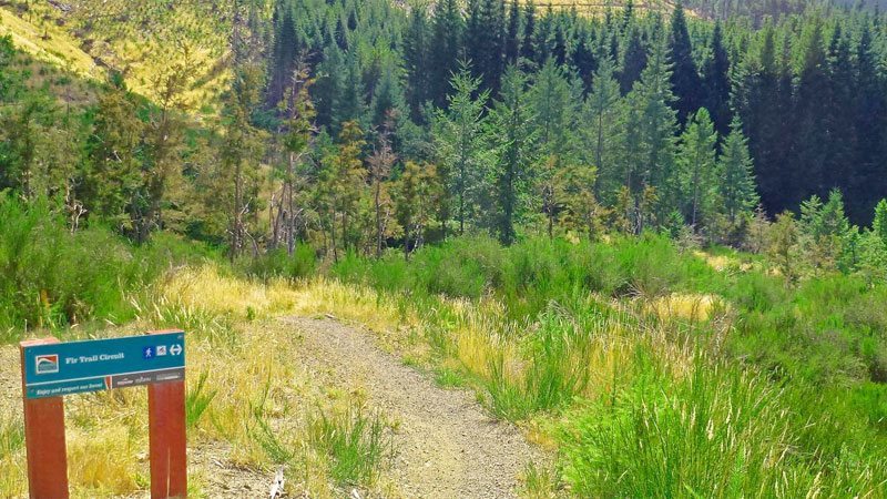
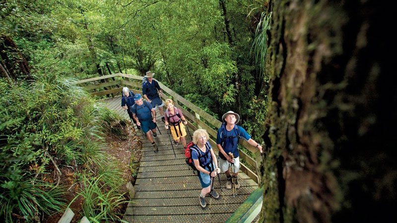
The park’s most popular picnicking, swimming and walking area is the Catchpool Valley just south of the suburb of Wainuiomata. There are well-formed tracks through peaceful native forest, and clear mountain streams. The renowned Five-Mile Track to the Orongorongo River starts here. The track has a gentle gradient through pine forest, semi-tropical nikau palms and red beech forest. The river offers a range of tracks, which are less strenuous than many of those in the nearby Tararua Range.
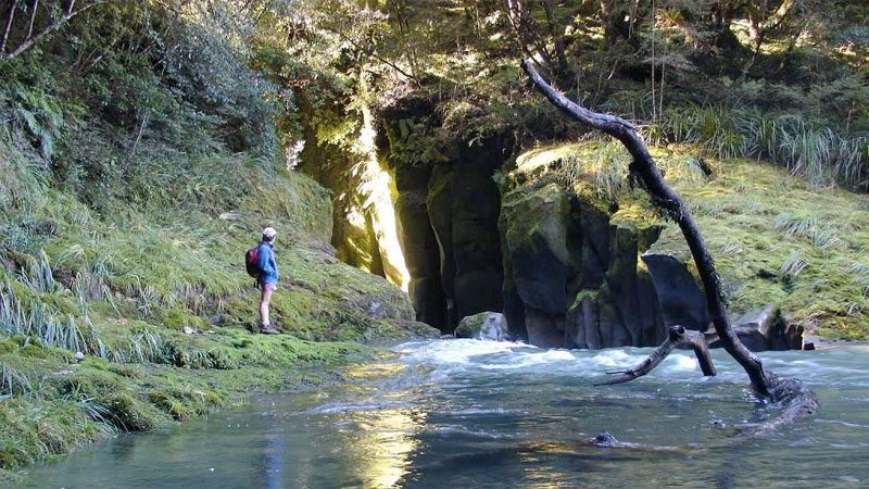
From the beautiful Orongorongo Valley it is possible to climb the highest point in the range, Mt Matthews (941 metres). The ascent begins after a 3 km walk upstream, firstly heading through the forest to the Matthews Stream, and then climbing steeply to the South Summit. You emerge onto a grassy clearing with commanding views of Wellington harbour and the pounding surf of Palliser Bay. The final section of the climb leads up a steep face on the forest-clad summit with brief views of the Wairarapa Plains below.
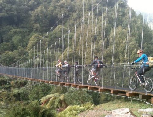
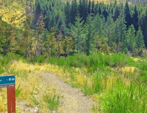
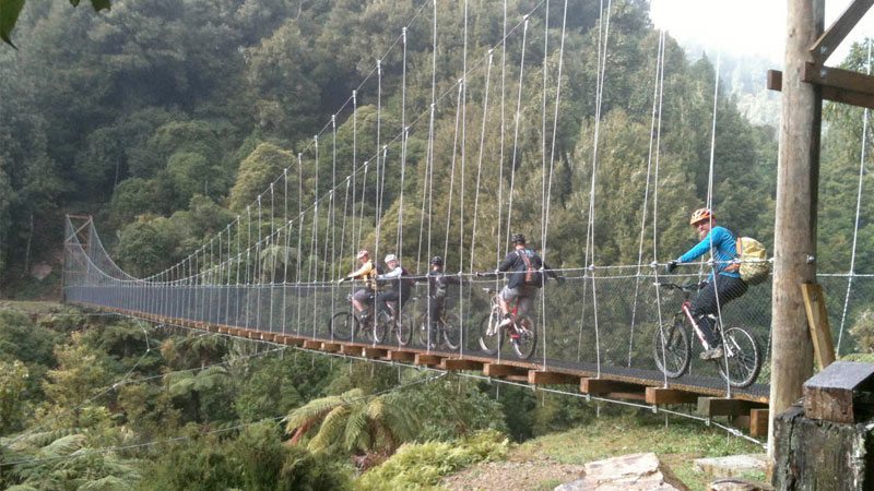
Another favourite walk at the north end of the park is the Rimutaka Incline Walk. This is a 5-7 hour walk each way along the historic railway line, which carried trains between Wellington and Wairarapa before the train tunnel was built. This walk starts on S.H.2, 9 kms north of Upper Hutt. This route is suitable for mountain bikes.
The accessibility of the Rimutaka Forest Park makes it a major attraction for visitors to the capital city. It offers a ready escape to a place of solitude and peace.
Leave A Comment